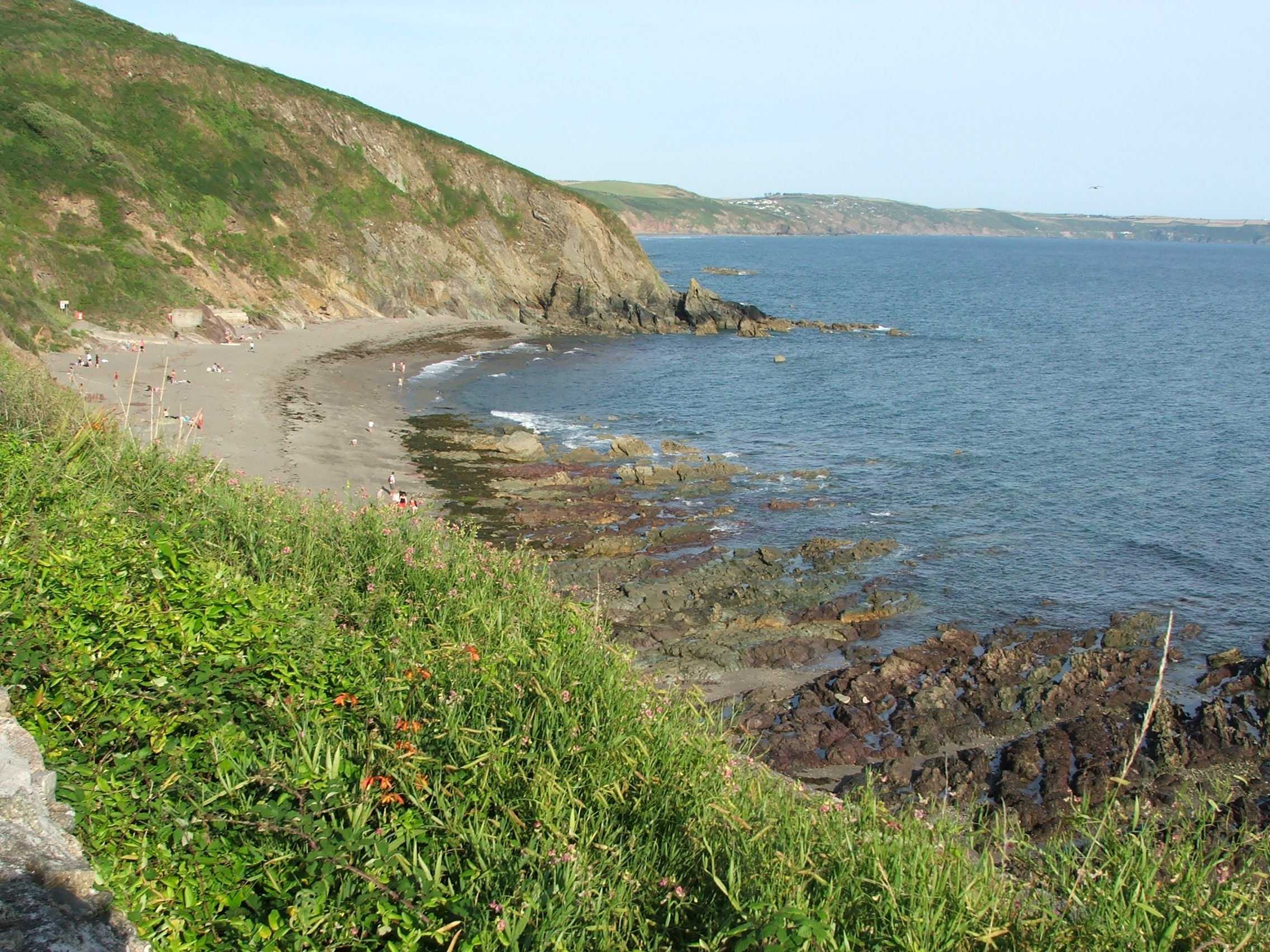
The Parish of Sheviock occupies the neck of the Rame Peninsula and is bounded northwards by the tidal waters of the River Lynher, east and west by Antony and st Germans, and the south by Whitsand Bay.
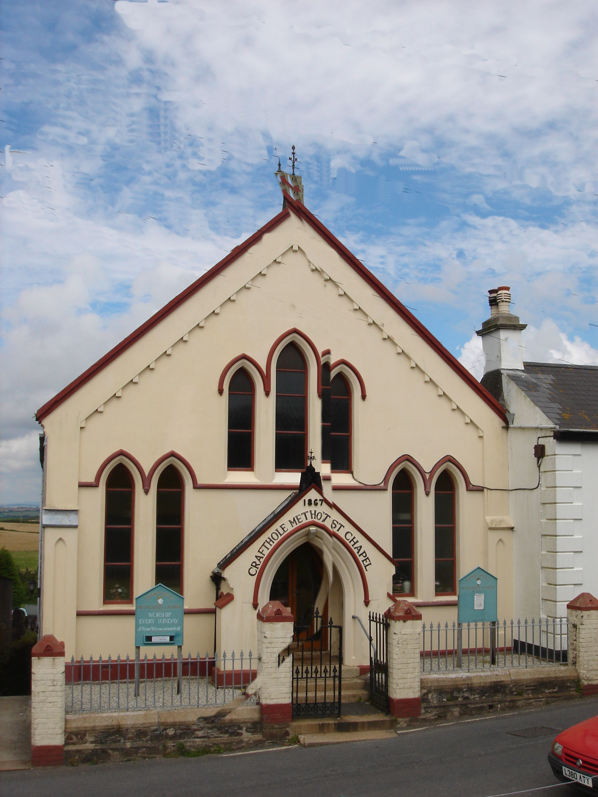
The houses centre round the church at Sheviock, the post office at Crafthole, and the harbour at Portwrinkle, with several outlying hamlets.
More information can be found onthe Sheviock Parish Council web site.
Sheviock’s application for a Neighbourhood Development Plan can viewed here.

![PlanningBoundaries002[1]](https://ramepeninsulaneighbourhoodplan.com/wp-content/uploads/2014/10/planningboundaries0021.jpg)
![PlanningBoundaries003[1]](https://ramepeninsulaneighbourhoodplan.com/wp-content/uploads/2014/10/planningboundaries0031.jpg)
