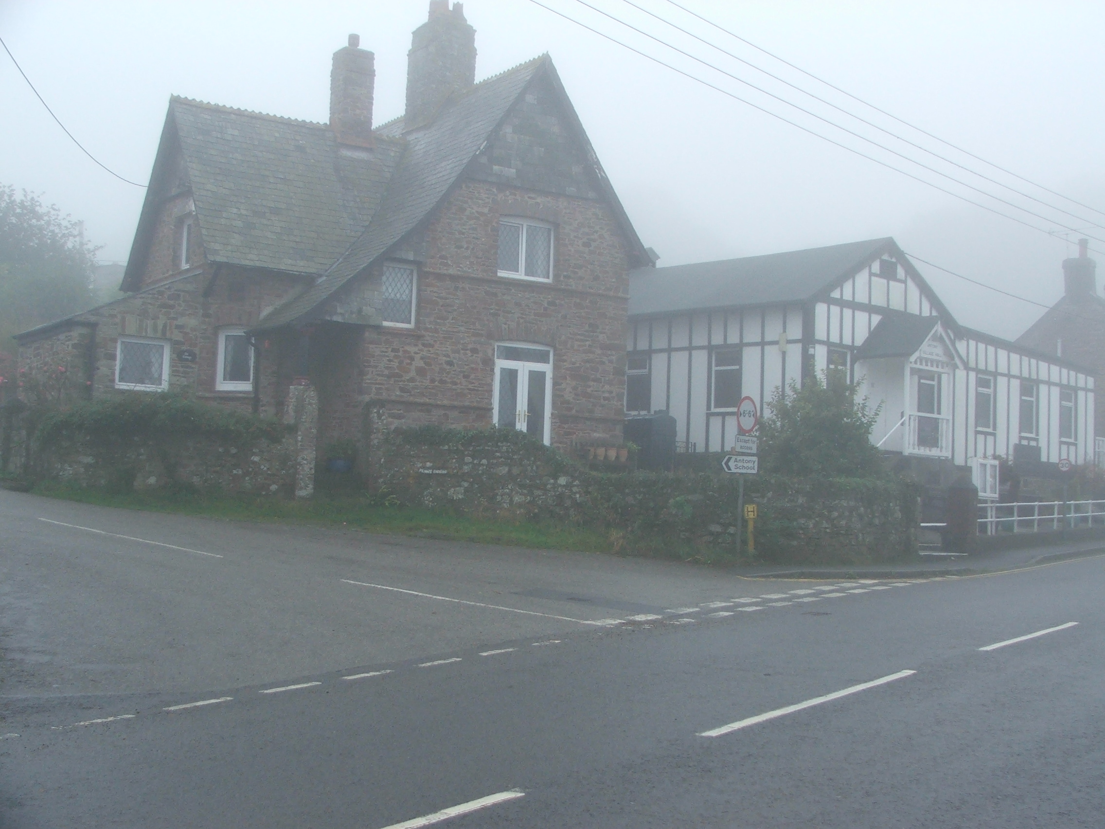
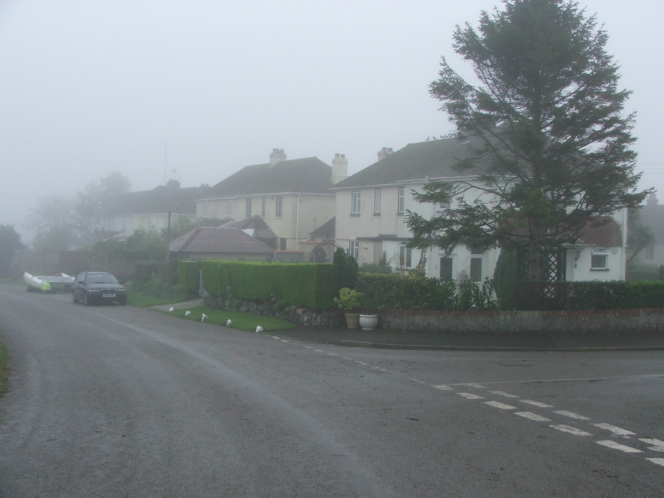
Antony is situated 3 miles west of Torpoint and 6 miles south-west of
St. Germans.


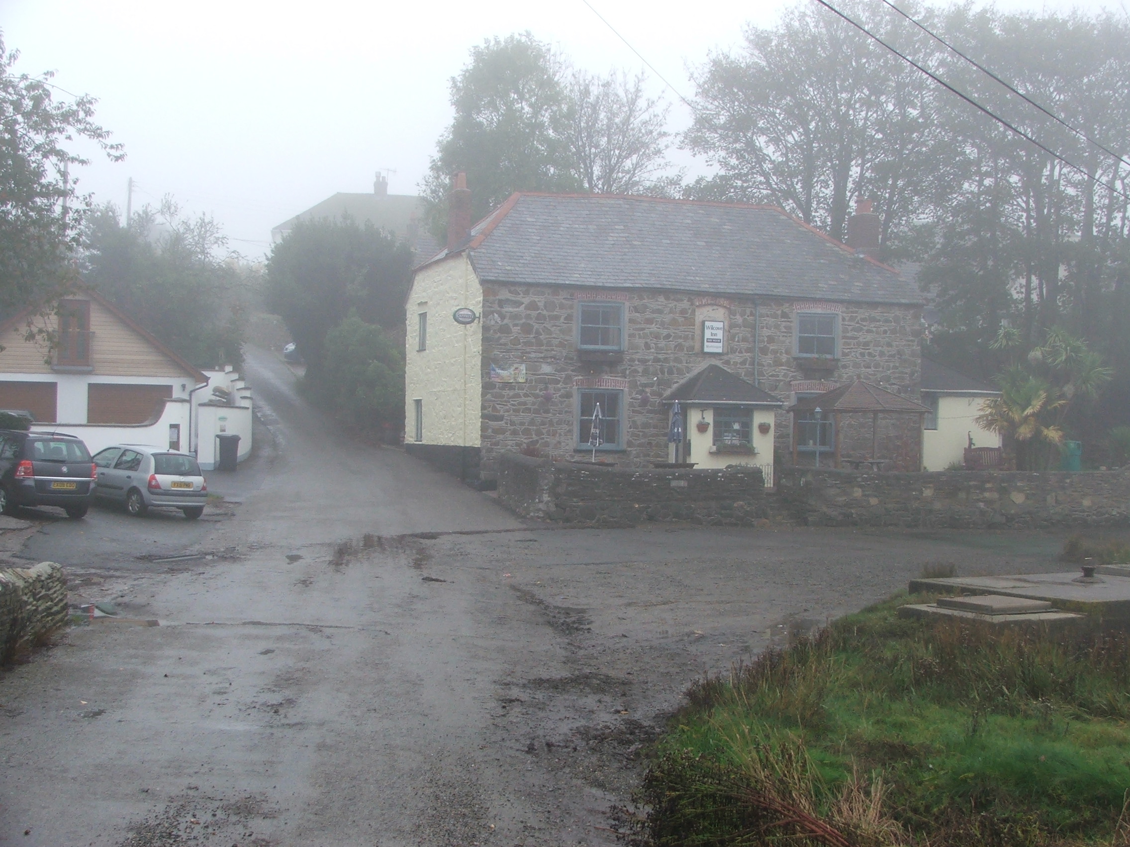
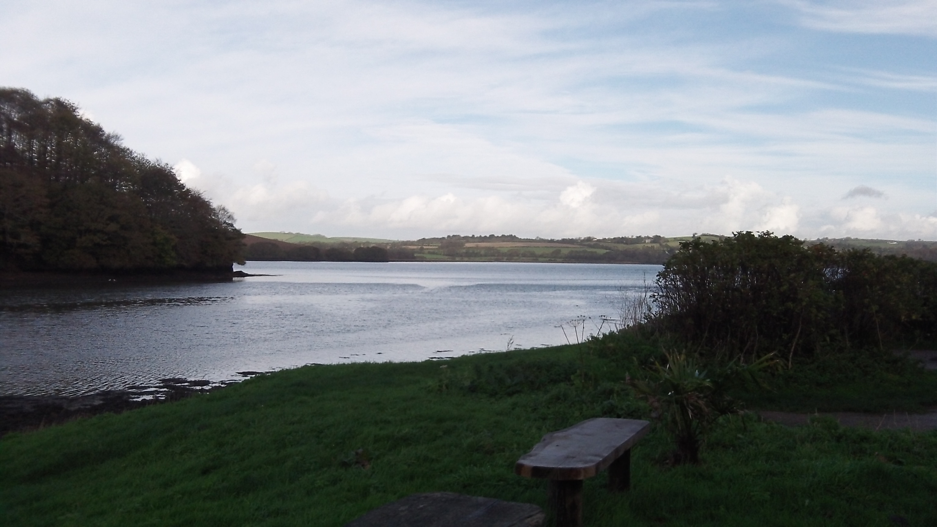
The village boundaries are located at Wilcove (below) in the south as far
as the stream in the Sunwell Valley in the north.
.


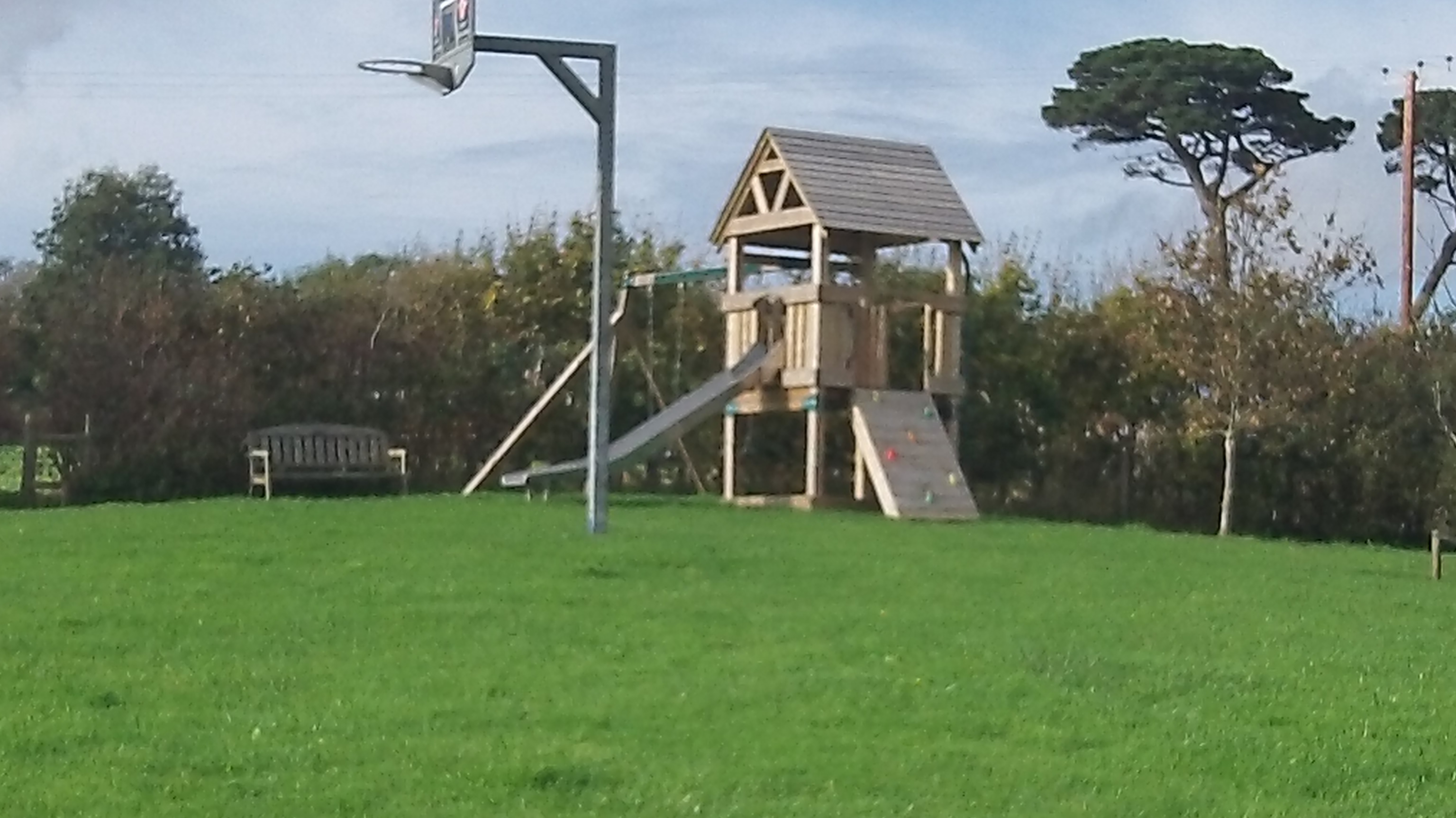
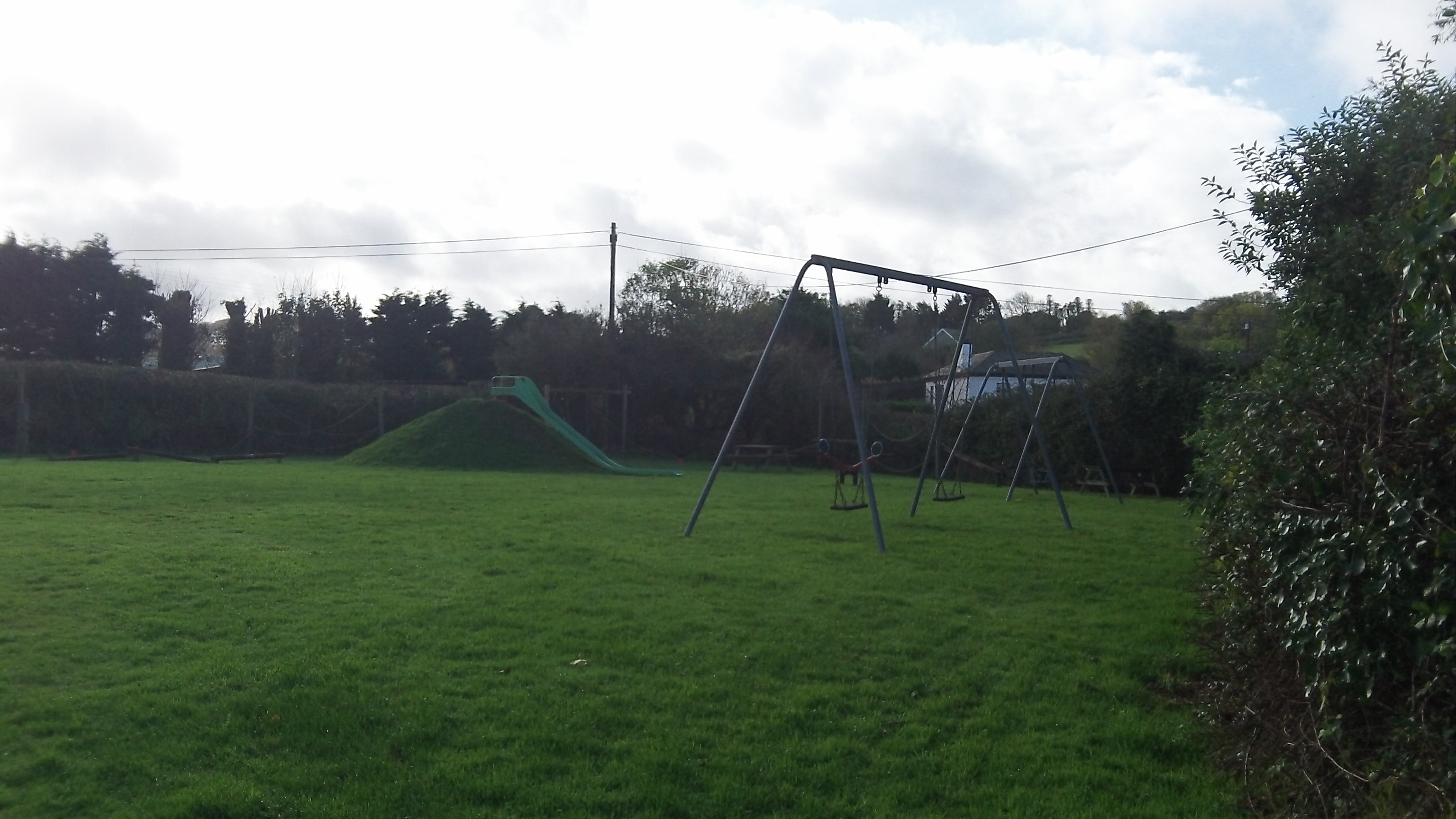 Wilcove & Antony play areas
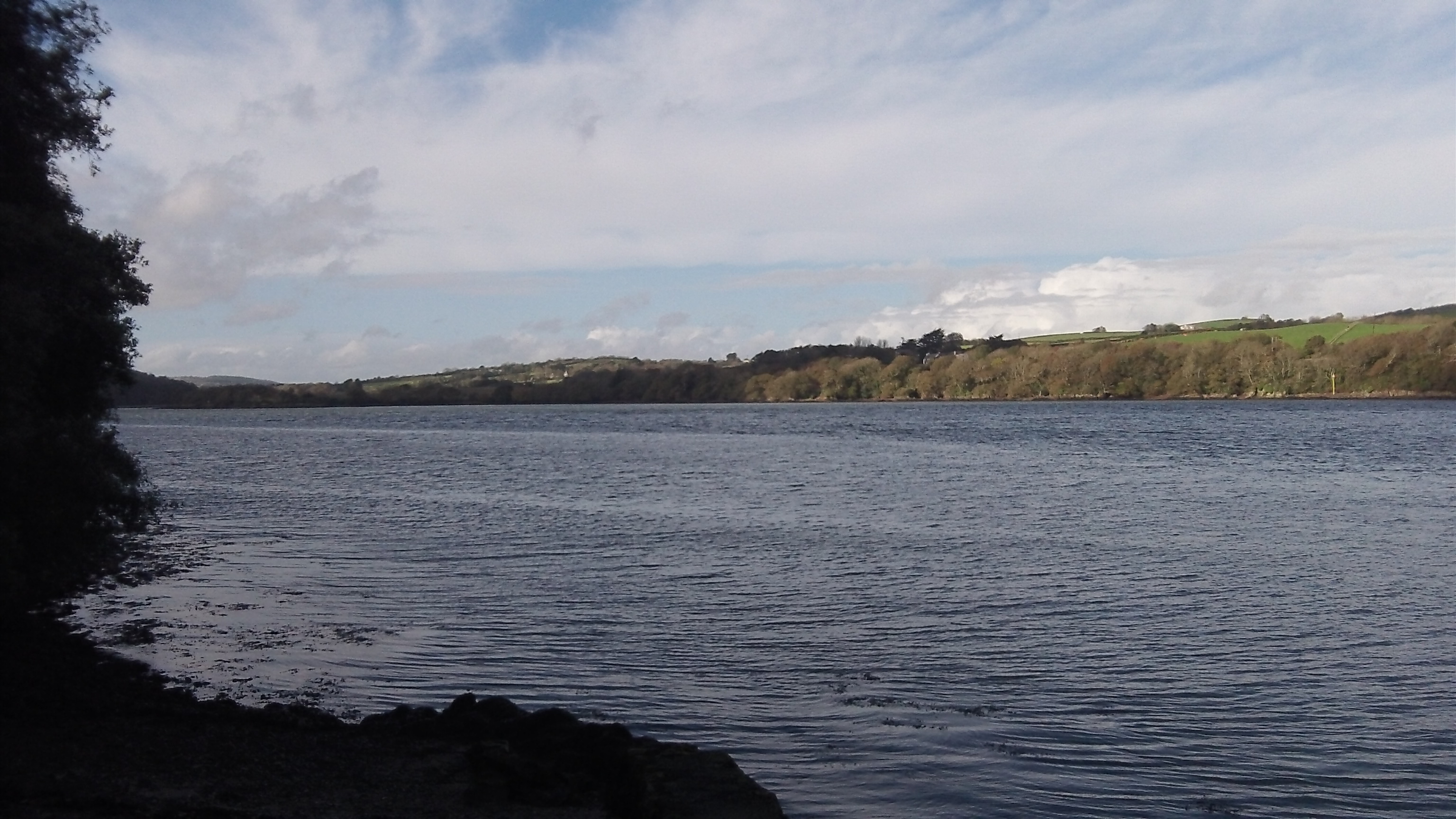
Its western boundary is Wacker (below) and its eastern boundary St. John. 
 The imposing Antony House lies nearby. The very picturesque house and gardens are now in the stewardship of the National Trust.
http://www.nationaltrust.org.uk/antony/

The strategic location of Antony makes it an important location for the armed forces.
The forts at Scrasdon and Tregantle are still in use today


